
High wind warning, fire weather concerns continue
High Wind Warning remains in effect today for Cheyenne, Kimball, Banner and Scotts Bluff counties, with gusts up to 65 mph. A Fire Weather Watch is in place Thursday
 By News Channel Nebraska
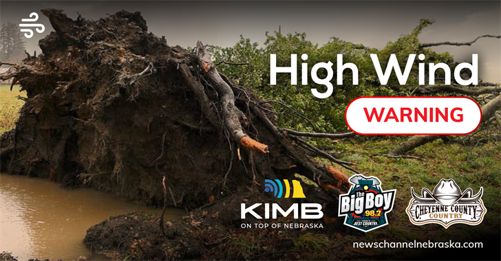
SIDNEY, Neb. — High wind warnings remain in effect across portions of the Nebraska Panhandle and eastern Wyoming, with additional fire weather concerns expected later this week, according to the National Weather Service.
The National Weather Service in Cheyenne said a High Wind Warning remains in effect from 8 a.m. to 5 p.m. Wednesday for Cheyenne, Kimball, Banner, Scotts Bluff and Laramie counties, including Sidney, Scottsbluff, Gering, Kimball, Harrisburg and Pine Bluffs. West winds of 30 to 40 mph are expected, with gusts up to 65 mph possible.
Forecasters say the primary impacts will be to transportation, as strong crosswinds could create hazardous travel conditions for light-weight or high-profile vehicles, including campers and tractor trailers. A High Wind Warning indicates sustained winds of at least 40 mph or gusts of 58 mph or stronger are expected, which can lead to property damage.
Looking ahead, fire weather concerns are expected to increase.
The National Weather Service has issued a Fire Weather Watch from Thursday morning through Thursday afternoon for much of the Nebraska Panhandle and far southeastern Wyoming, including areas along the Interstate 80 corridor from Kimball to Sidney. Westerly to northwesterly winds of 20 to 30 mph with gusts up to 45 mph are forecast, with relative humidity values between 15% and 20%.
Forecasters said the highest fire danger will be along and east of the Laramie Range into the southern Nebraska Panhandle. Any fires that develop could spread rapidly, and outdoor burning is not recommended.
On Monday, the Mitchell Volunteer Fire Department responded to a small grass fire on Highway 26, east of town. It was determined a car driving by lost a wheel assembly - which was hot - and rolled into dry vegetation, igniting the ditch on fire.
Critical fire weather conditions are also expected Friday, when afternoon humidity values could drop into the 10% to 15% range with wind gusts up to 40 mph.
In northeast Colorado, a Red Flag Warning remains in effect from 10 a.m. to 6 p.m. Wednesday for much of the plains. Northwest winds of 25 to 35 mph with gusts up to 55 mph and relative humidity as low as 15% are expected. A Fire Weather Watch is also in effect there from Thursday morning through Thursday afternoon.
Widespread precipitation chances are expected to return early next week, though daily probabilities remain between 30% and 50%, according to the weather service.